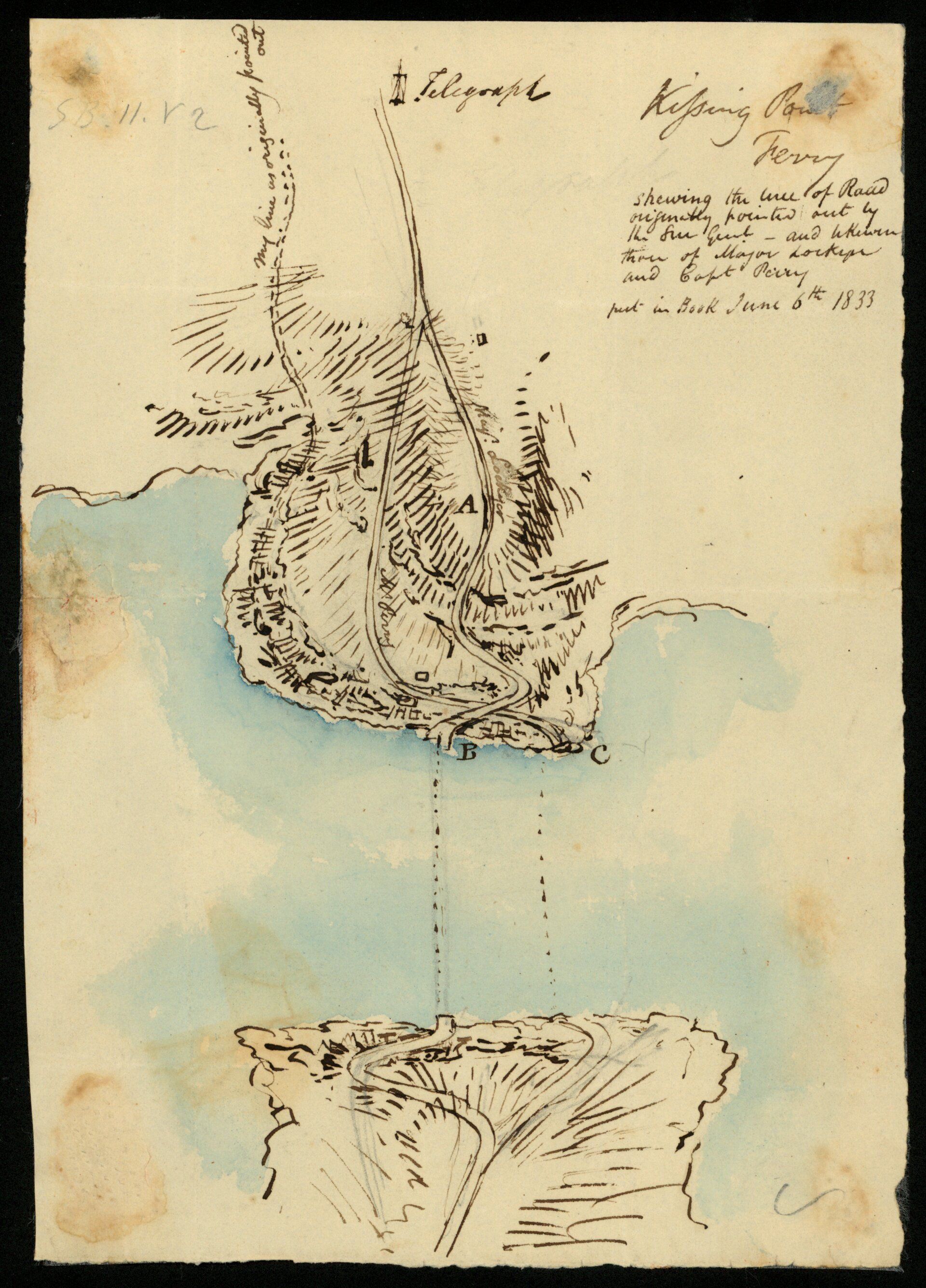
Surveyors' field books 1794-1860
Entries
| Name | Surname | Place | Date | Item No | Previous System No | Reel No | |
|---|---|---|---|---|---|---|---|
| T | Evans | Surveys of Farms at Sutton Forest - Mittagong &c. in Parishes of Belanglo, Burrawang, Yarrunga. Allotments Village of Murrimba - Subdivision of Police Paddock Reserve at Bargo. Surveys for connections - County Camden. Vide Index in Field Book. | 1859-1859 | 861 | [2/8087.2] | Details | |
| T | Evans | Survey of Farms Parish of Burragorang &c. County Camden. Farms in Parishes of Wingecarribee, Speedwell, Bimlow (on Cox River) &c. and other Surveys - County Westmoreland. Vide index to Field Book. | 1859-1859 | 863 | [2/8087.4] | Details | |
| - | Davidson | Index to Mr. W.R. Davidson's Field Books of the Wellington District. | 603 | [2/8068.7] | Details | ||
| - | Larmer | Survey of Farms, Grants, Town Allotments, Rivers, Creeks, Roads &c. Counties of Argyle, Camden, Murray, St. Vincent, and King. (Vide index in Field Book). | 497 | [2/5108] | Details | ||
| - | Galloway | Survey of Farms, Allotments, Township and Reserve Boundaries &c. County Cumberland. (Vide Index in Field Book). | 1841-1841 | 510 | [2/8063.3] | Details | |
| - | Hoddle | Survey of grants, farms, features &c. in Counties Argyle, Camden, Goulburn, Murray, and St. Vincent. (vide index in Field Book). | 324 | [2/4954] | 2628 | Details | |
| C | Grimes | Survey of farms, rivers, creeks and roads in various parishes - (County Cumberland). Vide Index in Field Book. | 21 | [SZ731] | 2622 | Details | |
| T | Evans | Survey of Farms Vide Parishes of Picton, Burragorang &c. County Camden. Farms in Parishes of Kedumba, Cooba, Lidsdale, Cox &c. County of Cook. Farms in Parishes Speedwell &c. Connections other and surveys - County Westmoreland. Vide index to Field Book. | 1859-1859 | 862 | [2/8087.3] | Details | |
| - | Wener | Traverses - Armidale towards Boorolong, McInture to Bundarra and towards Armidale. Township of Armidale and Dumarerque Creek - County Sandon &c. (Wide index to F.B.). | 1848-1848 | 607 | [2/8068.10] | Details | |
| C | Arthur | Survey of large and small farms. Traverse of Isabella River, Thompson's and other Creeks - Ranges, Roads &c. County of Georgiana. Vide Index to F.B. | 1858-1858 | 837 | [2/8085.12] | Details |
Showing 1 - 10 of 813 results
of 82
The index records surveyor's name, date and locality covered and gives book number, item number and reel number (if available on microfilm).
Related index

Surveyor General's crown plans 1792-1886
A complete listing of the Surveyor General's Crown Plans from the Select List of Maps and Plans (and Supplement), 1792-1886