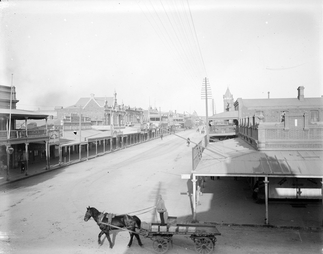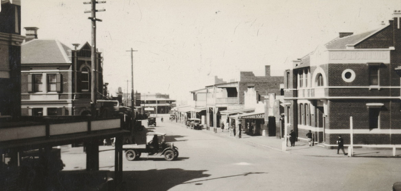
Local history

Muswellbrook Power Station Carl Street Apprentices For 1982 Annual Report

Electricity Commission photos

These photos record the power generation and transmission assets of the organisation and document the working conditions and social events of its employees

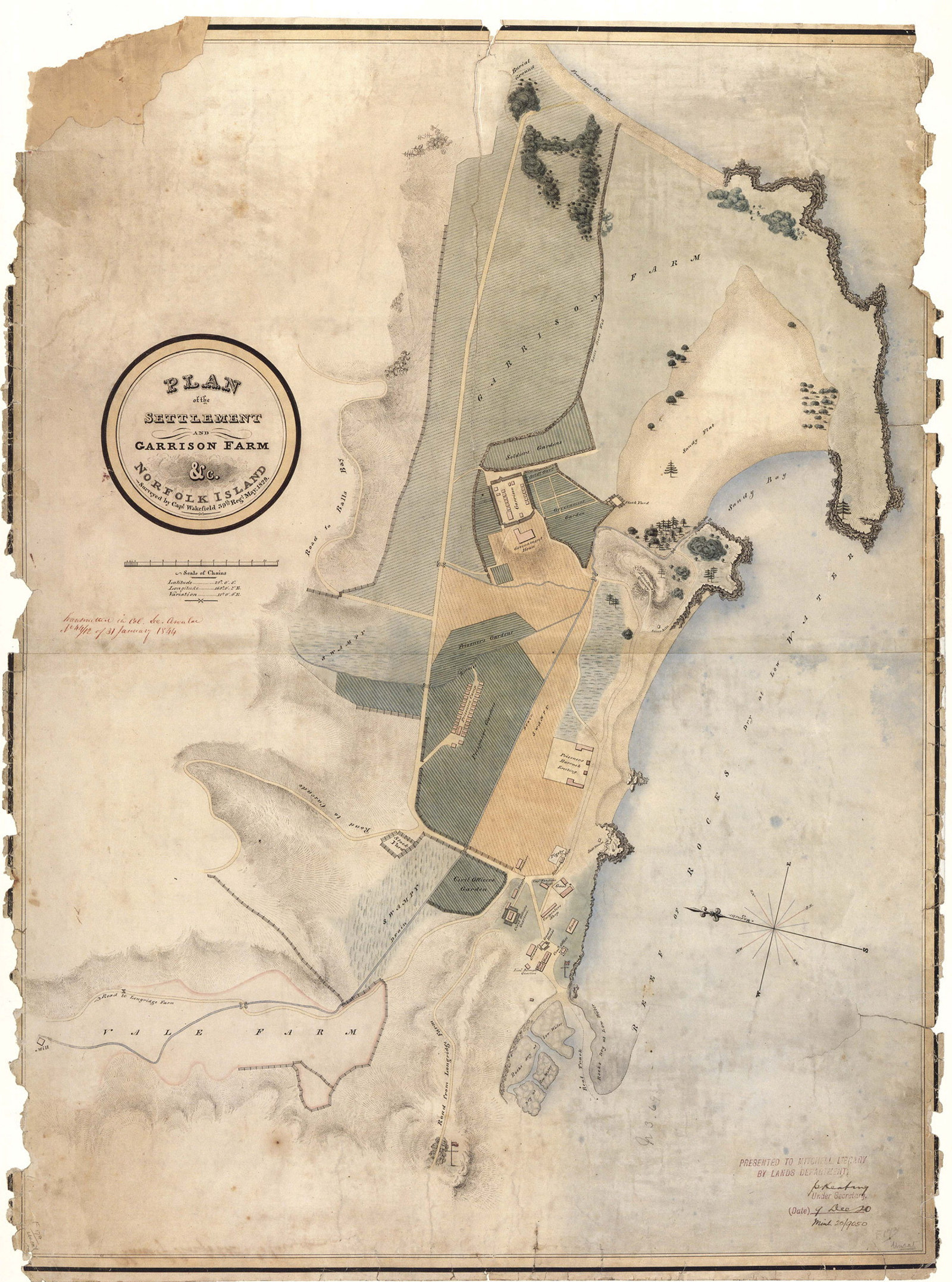
Land grants guide, 1788-1856

These records relate to the original alienation of land from the Crown. Parish maps are useful for research in this area, as they record original grants

4335_a120_001738.jpg

Plans of public buildings

A sample of digitised building plans showing gaols, hospitals, pilot stations, post and telegraph offices, schools and tramways

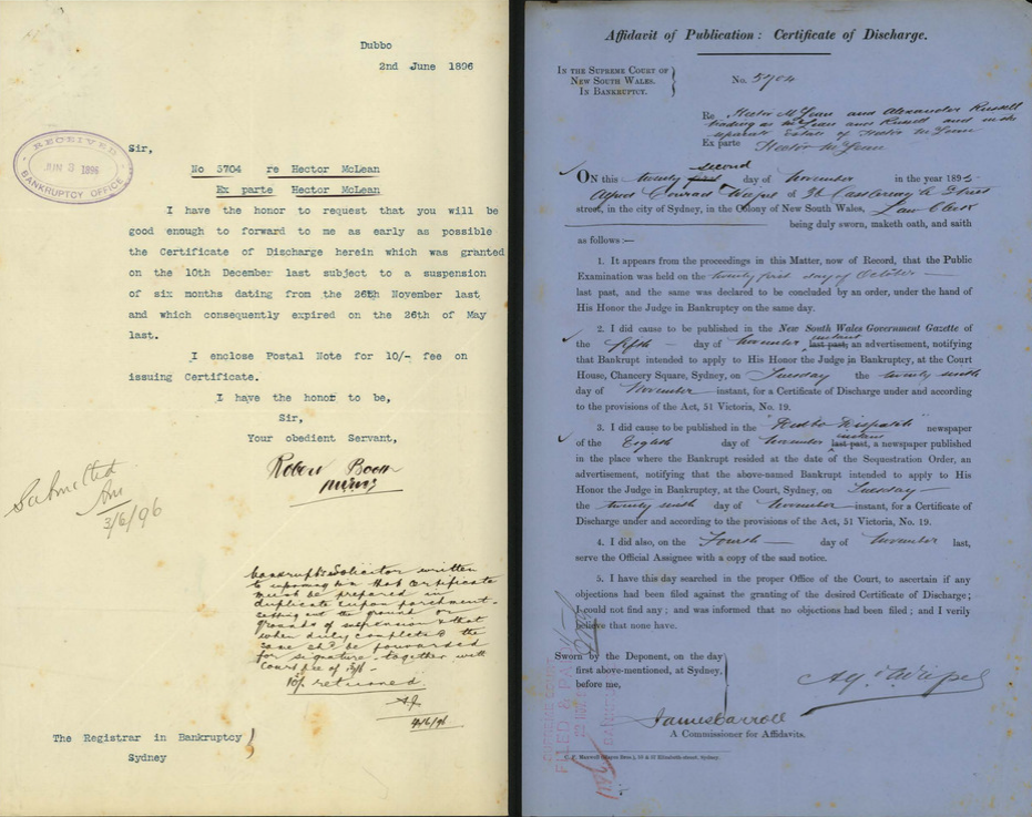
screenshot of a digitised bankruptcy file

Bankruptcy index 1888-1929

Bankruptcy is a state in which a person is unable to pay creditors and is required to undergo a legal process that usually results in liquidation the estate in order to meet expenses (at least in part).
screenshot of digitised theatre file showing plan of seating

Theatres & public halls: what the files can tell you

Theatres and public halls had to be licensed from 1895. They were owned by private individuals, businesses, religious organisations, community groups and councils and they were used for many purposes – dances; social gatherings; showing movies; live entertainment and skating (roller and ice)

Children playing outside with see saw and ride on elephant

Public Works photographs: an unsung treasure

The amazing quality and variety of the photographs taken by the Public Works Department is a testament to the photographers. This webinar explores these images in depth

Black and white photo of man seated on step.

Dr Jack Mundey AO (1929-2020)

Jack Mundey, a dedicated environmentalist and unionist, was as committed to ‘the workers’ as he was to our historic sites, and is fondly remembered by all who knew him

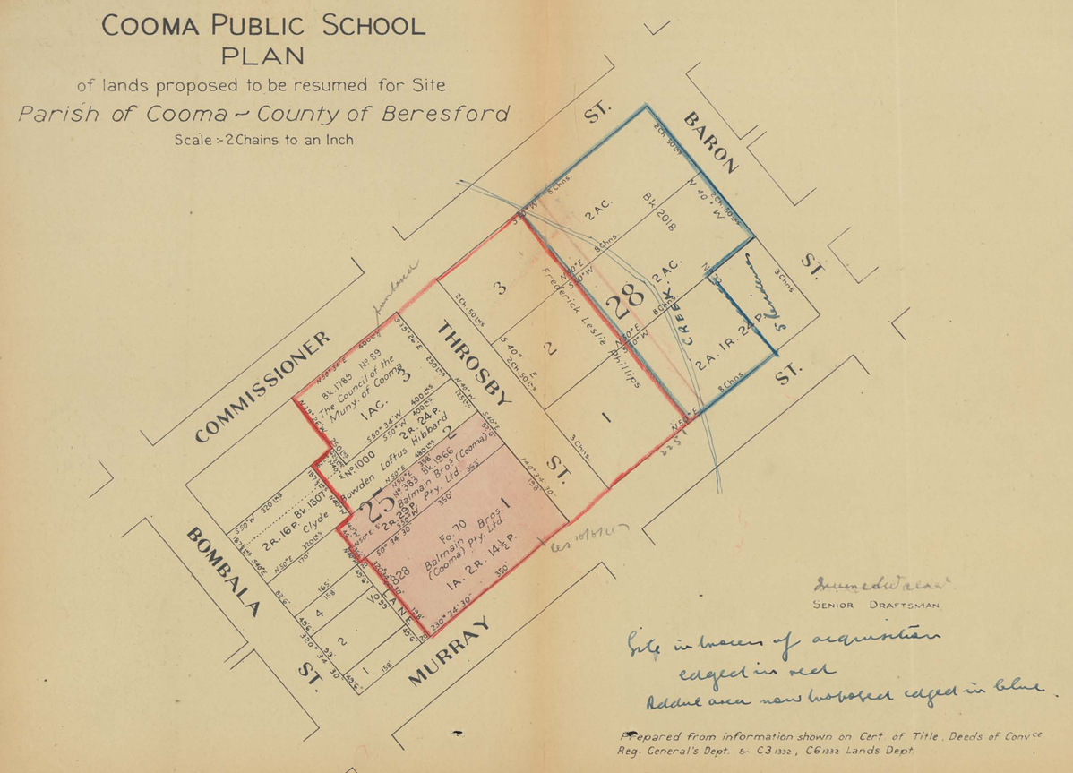
Plan of Cooma public school

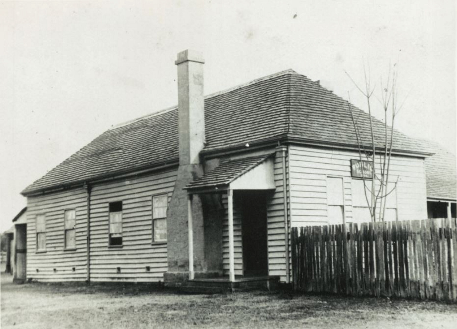
Cooma school records

Explore the NSW town of Cooma through its school records

Sketch of Kissing Point Ferry

Surveyor General's crown plans 1792-1886

A complete listing of the Surveyor General's Crown Plans from the Select List of Maps and Plans (and Supplement), 1792-1886