Dacey Garden Suburb
Daceyville, in Sydney's eastern suburbs, was built in 1912 to offer affordable housing for working-class families. The suburb is named after John Rowland Dacey, a parliamentarian for the area from 1895 to 1912, who proposed the concept. This photo series shows the development of the suburb.
Low-cost housing for working-class people
Construction work on Daceyville began on 6 June 1912. The original plans for Daceyville reflected an integrated design of family homes, wide boulevard streets and open spaces with trees and gardens. The self-contained suburb would also include its own tram line, school, shops and maternity hospital.
Sand dunes and sandy scrub land gave way to roads and cottages. By August 1915, 104 homes had been completed and in 1920 the last rental cottage was finished, bringing the total number of houses to 315, just over one-fifth of the original planned cottages.
A bird's eye view of the plan
In 1915 a large hall was completed to be used as a picture theatre and six new combined shops and dwellings were being built. In the following year a grocery, drapery, butcher and confectionery store opened. Daceyville Public School opened in 1917, replacing the infants school which operated from 1914.
Building in the suburb had slowed down by 1917 due to the “acute financial position”, which may be a reference to the financial impact of World War I.
New streets, such as Major General Bridges Crescent and Captain Jacka Crescent, were named after Gallipoli heroes. Sergeant Larkin Crescent and Colonel Braund Crescent were named after two members of Parliament who were killed at Gallipoli.
In 1916 the Lands Department requested that the Housing Board make 50 cottages available for returned incapacitated soldiers and soldier’s widows. These changes associated Daceyville with World War I rather than low cost housing for workers.
Published on
Photo collections
Browse all
House photo albums
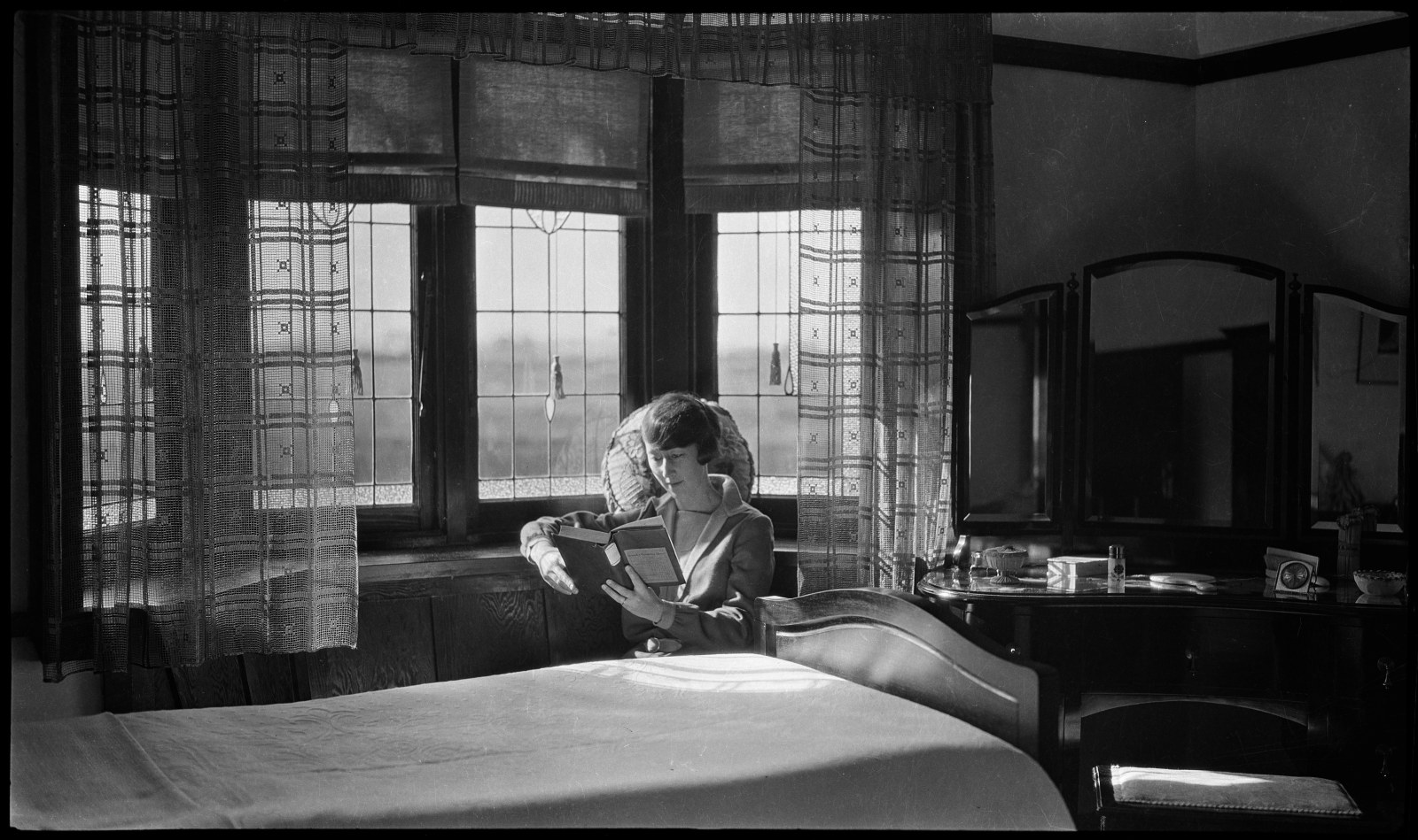
These specially produced photograph albums (some in published form and others consisting of photographs pasted into an album) comprise images of one or more domestic dwellings and depict exteriors, interiors and gardens in NSW mostly from the late 19th to the early 20th centuries

Richard Stringer’s architectural photographs, 1968–2003
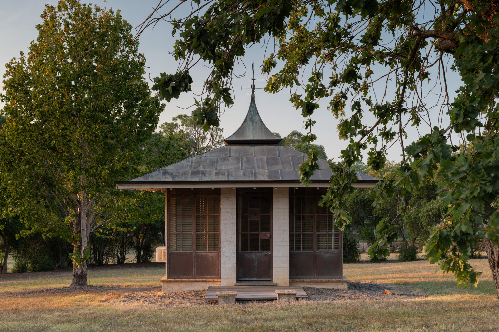
This portfolio contains 55 photo prints taken by architectural photographer Richard Stringer, dating from 1968 to 2003, documenting significant Australian domestic buildings

Barry Wollaston: historic buildings in the county of Cumberland (NSW), 1954
This collection consists of 232 photo negatives by architect and photographer Barry Wollaston of buildings in the Sydney region considered by the Royal Australian Institute of Architects in the early 1950s to be of architectural and historical value

A pictorial guide to identifying Australian architecture – photo collection
This collection of over 700 black and white photo prints was used to illustrate the book 'A pictorial guide to identifying Australian architecture' by Richard Apperly, Robert Irving and Peter Reynolds, first published in Sydney in 1989
Photos from Urban Affairs and Planning
This collection includes both colour and B&W photographs taken between 1945 and 1999, depicting Sydney, its surrounding areas, and regional NSW

Electricity Commission
These photos record the power generation and transmission assets of the organisation and document the working conditions and social events of its employees

Alan Spearman Evans Collection
The Alan Spearman Evans Collection comprises over 2000 photographic images of houses, house interiors, garden landscapes and industrial workplaces in NSW

Maritime Services Board
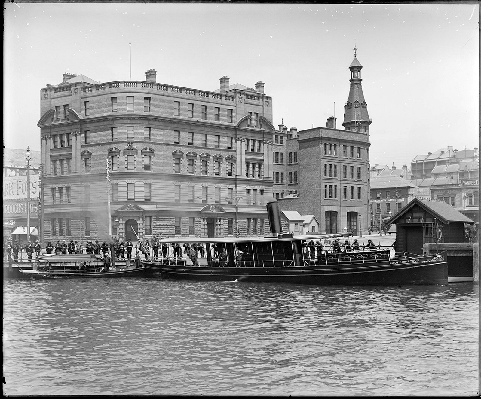
A sample of the 4000+ digitised glass plate negatives from the Maritime Services Board

Ikon Studio
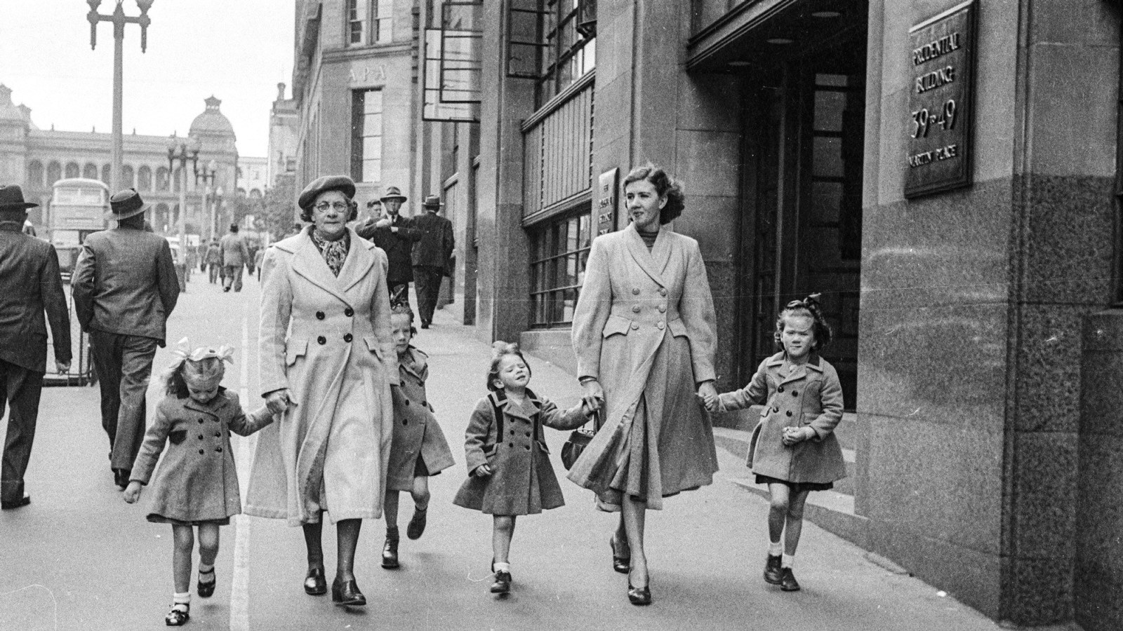
During the public call out for our Street Photography exhibition an extraordinarily rare collection of street photography negatives came to light. The Ikon Studio negatives provide a fascinating visual narrative of the street photographer at work

Documenting NSW Homes
Recorded for the future: documenting NSW homes
The Caroline Simpson Library has photographically recorded homes since 1989