Crown lands occupation guide
A brief overview of the major sources in our collection that relate to the occupation of Crown lands in the period prior to 1856.
Categories of land records prior to 1856
Alienation
The alienation of Crown lands (leading to the granting of freehold title) - referred to as land grants.
Occupation
The occupation of Crown land was often on an annual basis where freehold title was not granted - this was later referred to as tenure.
Historical Background
By a Government order on 5 September 1826 Governor Darling created an area known as the 'limits of location'. Settlers were only allowed to take up land within this area. A further Government order on 14 October 1829 increased this area of approved settlement to include an area called the Nineteen Counties.
From the earliest days of the Colony there was some unauthorised occupation of Crown Lands both within and outside the 'limits of location' and outside the Nineteen Counties. Various acts and regulations were in operation from as early as 1824 in an attempt to curb this type of settlement, which we often refer to as squatting. As a result of these legislative measures, such authorised occupations as grazing leases and depasturing licences were introduced to regularise settlement on Crown Land.
Within the Settled Districts
Colonial Secretary
Series | Title | Dates |
|---|---|---|
Special bundles - Miscellaneous Tickets of Occupation, 1826 [4/1917.10] - Returns of applications for Crown lands to be held on Grazing Leases, 1826-31 [4/7005]; Reels 1491, 3118 - Returns of applications to rent Crown Lands within the boundaries under Government notice No. 22 of 1831, 1831-41 [4/7000A-02C]; Reels 1488-1490, 3118-3120 - Returns of applications to rent Crown Lands within the boundaries under Government notice of 24 Aug 1841, 1842-47 [4/7003A-04C]; Reels 1491, 3120-3121 See the item lists (by year range) in the Colonial Secretary Overview Guide | 1826-1982 |
Outside the Settled Districts
As well as the records listed below researchers should also consult the correspondence of the various Commissioners of Crown Lands, listed in the catalogue, under the headings Colonial Secretary, Commissioners of Crown Lands, Lands, Surveyor General and Treasury.
Colonial Secretary
Series | Title | Dates |
|---|---|---|
Special bundles - Itineraries and returns of Commissioners of Crown Lands, 1837-49, [X811-18], Reels 2748-2749, [4/10803.1], [4/10803.2], [4/10803.3], [4/10803.4]. The itineraries and returns are listed in detail in the Commissioners of Crown Lands Guide. There is also an online index. See the item lists (by year range) in the Colonial Secretary Overview Guide | 1826-1982 |
Commissioner of Crown Lands - Portland Bay
Series | Title | Dates |
|---|---|---|
NRS 1391 [X690-91], Reel 2756 | Itineraries of Commissioner Foster Fyans, 1844, Jan-Jun 1846; and Returns of population and livestock, Jan 1844-Jan 1846 The returns of population and livestock include names of station, owner and superintendent; extent and area of run. | 1844-Jun 1846 |
Further information
Further information relating to land may be found by consulting the catalogue under the following headings:
- Colonial Secretary
- Court of Claims
- Lands
- Registrar General
- Surveyor General
- Treasury
*ARK signifies that a copy of the record or guide is part of the Archives Resources Kit and is held by the community access points.
Land guides
Browse allLand records available at NSW State Archives
A joint initiative between NSW State Archives and Lands and Property Information (LPI) to provide online access to a number of historical land title records was announced in November 2010. Using the popular search tool PIXEL (now HLRV) researchers can now search and view Old Form Torrens Title Registers, Charting Maps and Crown Plans online

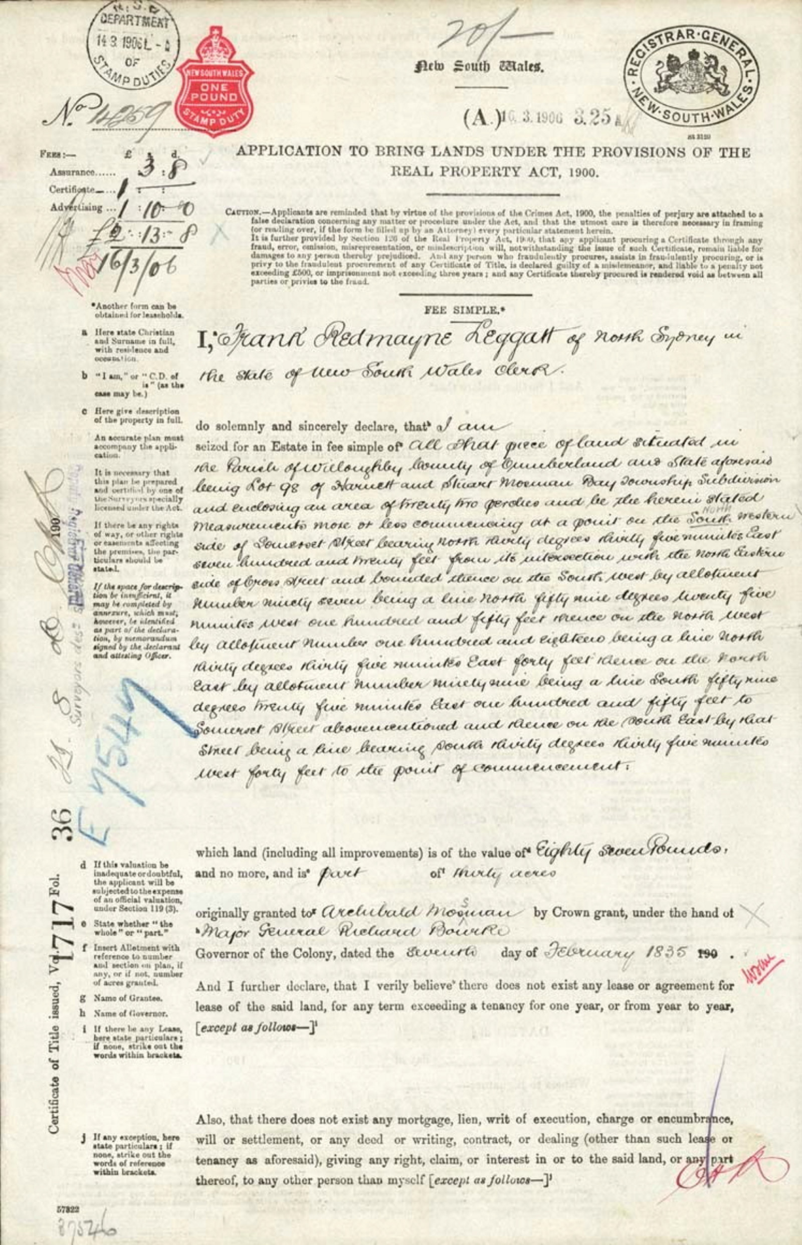
Primary application packets guide
The Real Property Act, 1862 established a system whereby owners could convert land granted prior to 1863 to Real Property Act title. This is done by what is called a Primary Application

COPY Land grants guide, 1788-1856
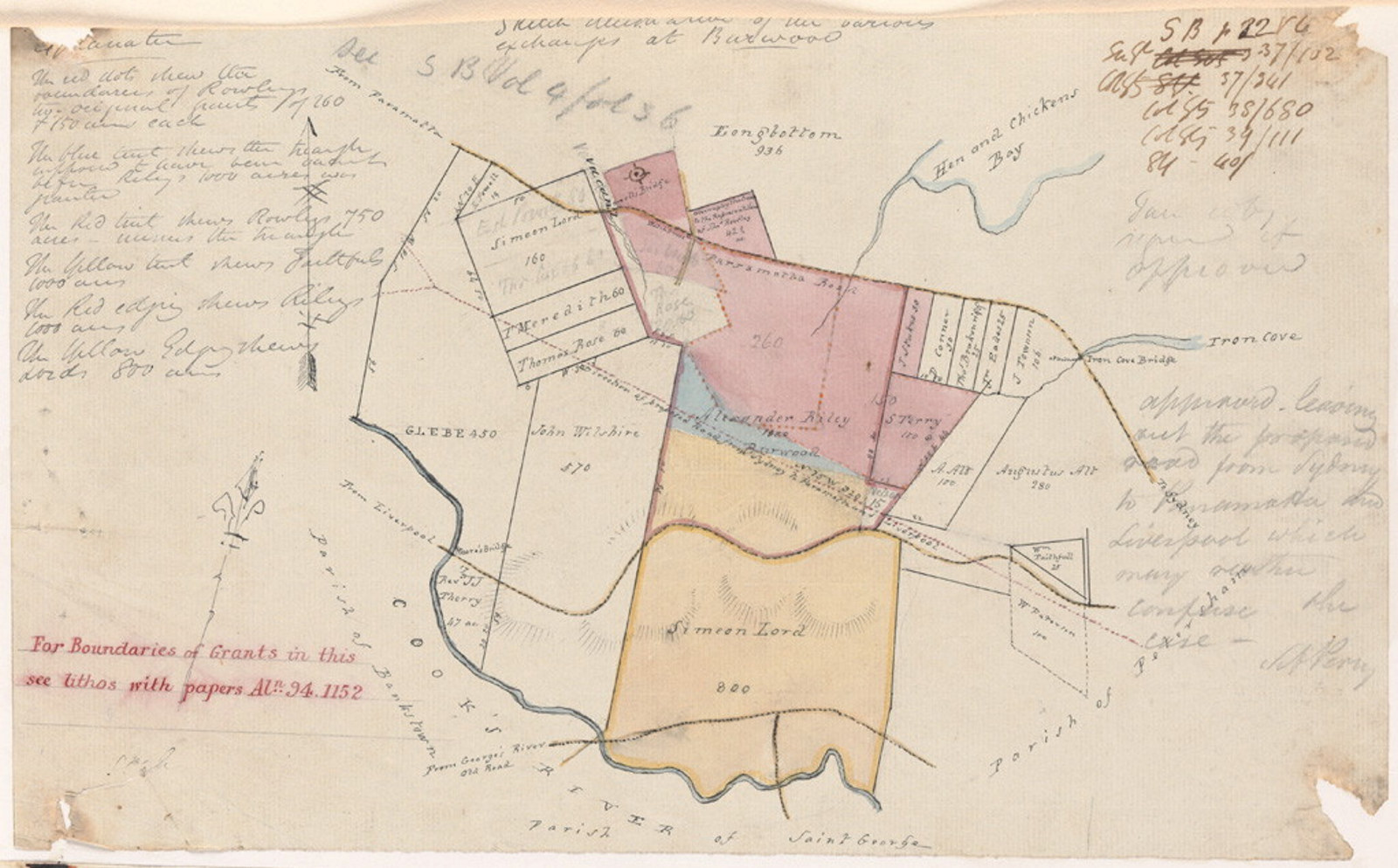
These records relate to the original alienation of land from the Crown. Parish maps are useful for research in this area, as they record original grants

COPY Land grants guide, 1788-1856
These records relate to the original alienation of land from the Crown. Parish maps are useful for research in this area, as they record original grants